
EMPÚRIES
Location: L’Escala, Alt Empordà, Catalonia (Spain) — 42.1244 N, 3.1606 E
Dating: 6th-4th centuries BC (Greek colony period); after 2nd century BC (Roman period)
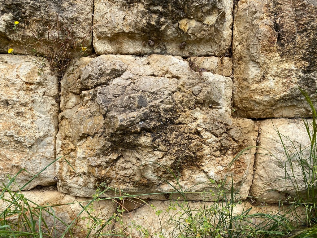
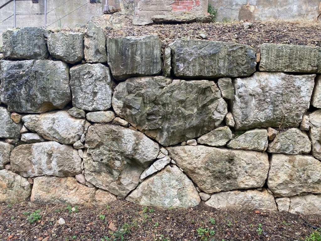
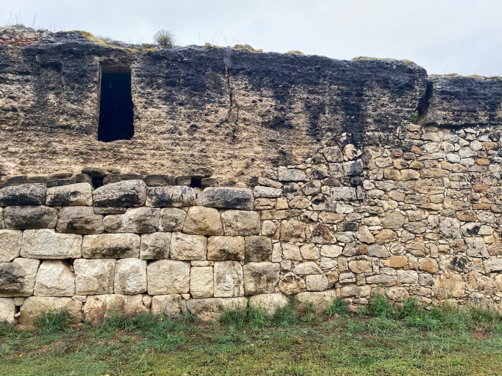
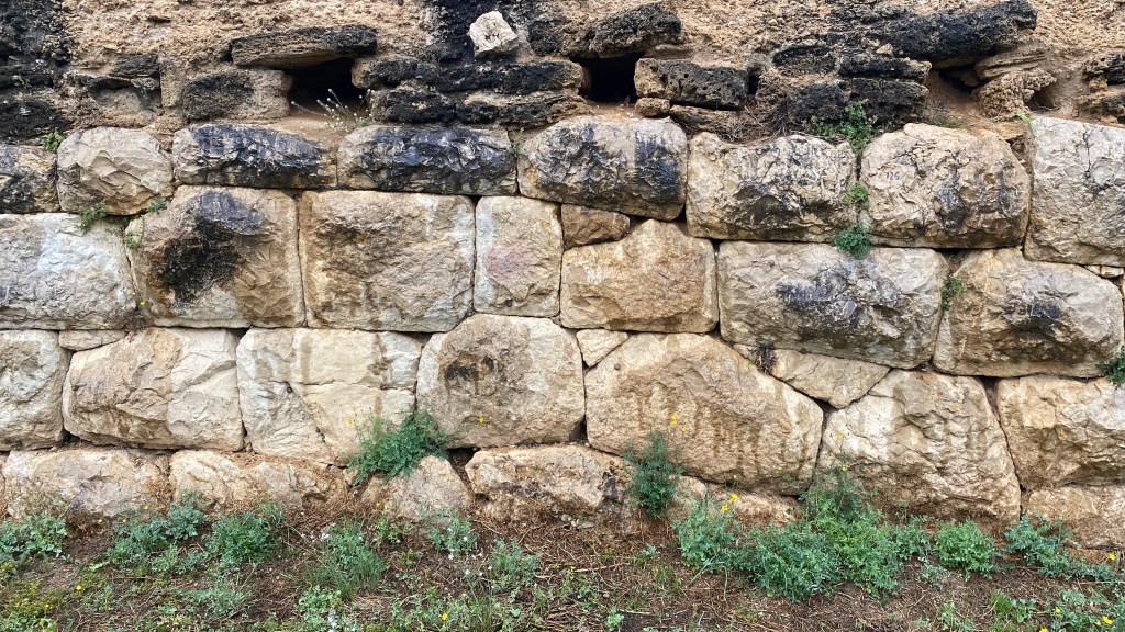
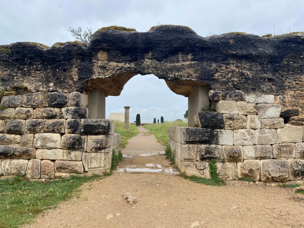
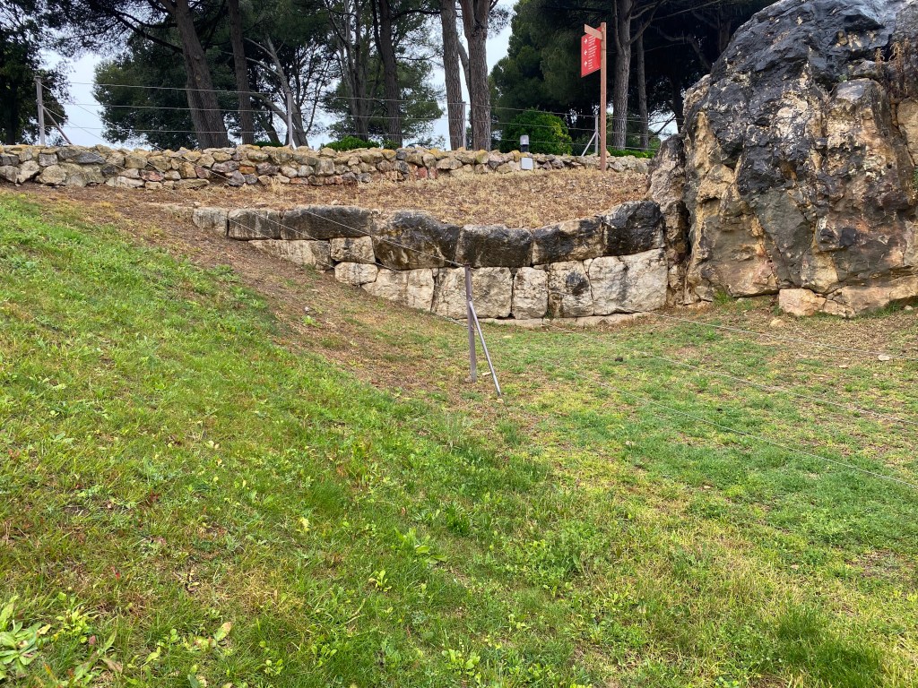
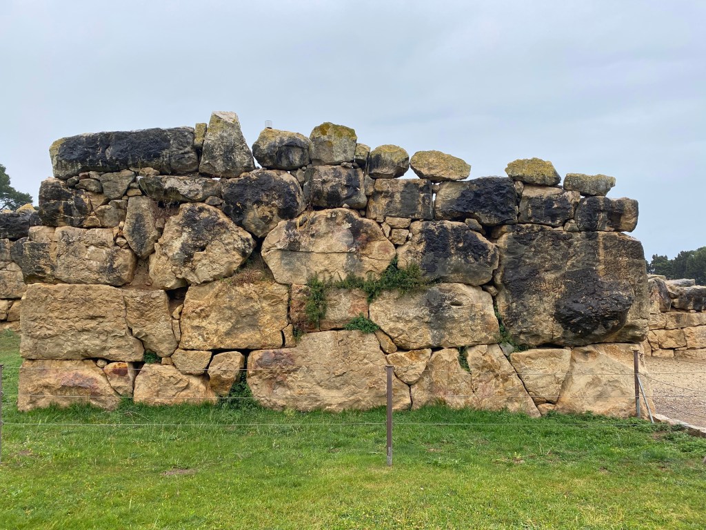
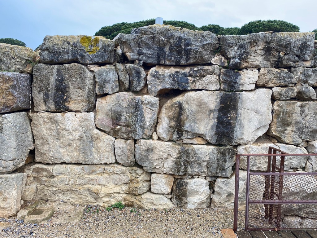
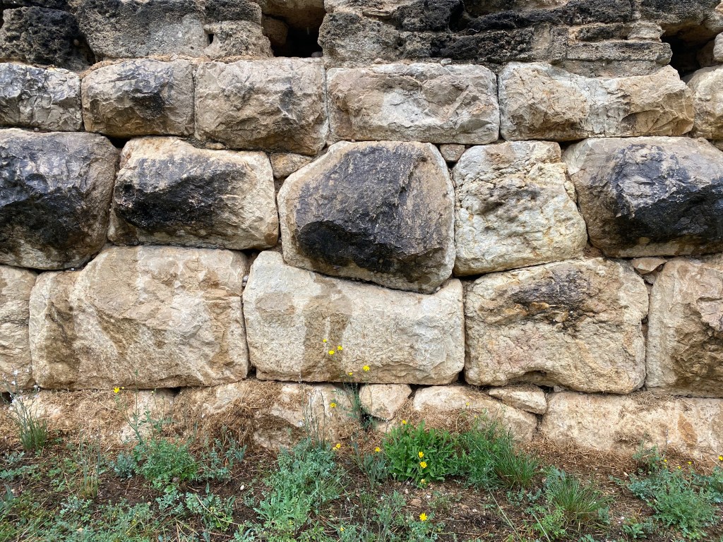
Characteristics: The archaeological site is characterized by various ancient settlements all located within a few kilometers along the Catalonian coast. The site, despite lying within ancient Iberic territory, is attributed to Greek settlers who founded a colony (Neápolis) on a small strip of land along the coast. Over time their colony and influence spread, and a larger settlement was founded to the south. Its walls are made of massive megalithic blocks constructed in the cyclopean style seen at many ancient Mycenaean sites. After the 2nd century BC, Rome took control of the settlement and established a city just inland from the older colony. The new city, Emporiae, was partially enclosed by a circuit wall of polygonal foundations and Roman concrete above. The mortarless multi-angled polygonal walls are attributed to the Romans despite not having any precedent in Roman era construction or building texts. An interesting feature of the polygonal walls at Emporiae is a phallic symbol carved in high relief on the south-facing gateway. Often considered a sign of luck or protection and featured on numerous Roman settlements with more ancient megalithic origins, it emphasizes the contrasting building traditions displayed at the site.
Polygonal classification: Similar to Lugli Types I, II and aspects of IV but considered Greek cyclopean polygonal
Attribution: The entirety of polygonal walls are attributed to the Greeks and later Romans.
Specific points to see:
- Empúries Roman City Ruins – southern wall and gate
- Muralles de la Ciutat Grega
- Moll Grec
